

HIKING INFORMATION
The map below shows our recommended and most popular routes and destinations. It is intended as a guideline, but it is not an exhaustive list and there are endless opportunities to explore outside of these routes. Feel free to reach out to us for more information or any questions you have about specific routes and destinations.
Please visit the Waiver & Insurance page to read the summer waiver and learn more about trip and rescue insurance.
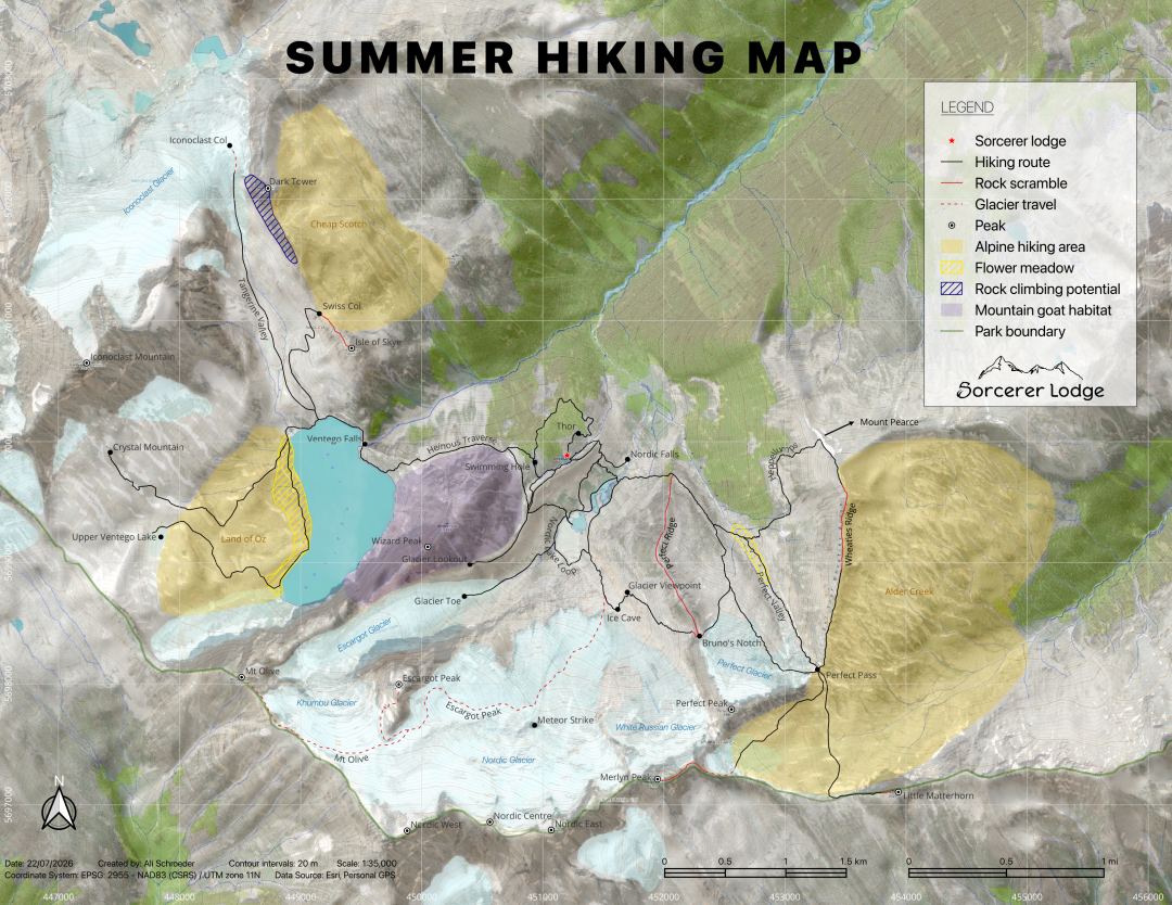
Click here to download a copy of the map (8 MB)
Click here to download KML files
POPULAR ROUTES
 Around the Lodge
Distance: 0.5 – 2.0 km
Elevation gain: up to 200 m
Difficulty: 
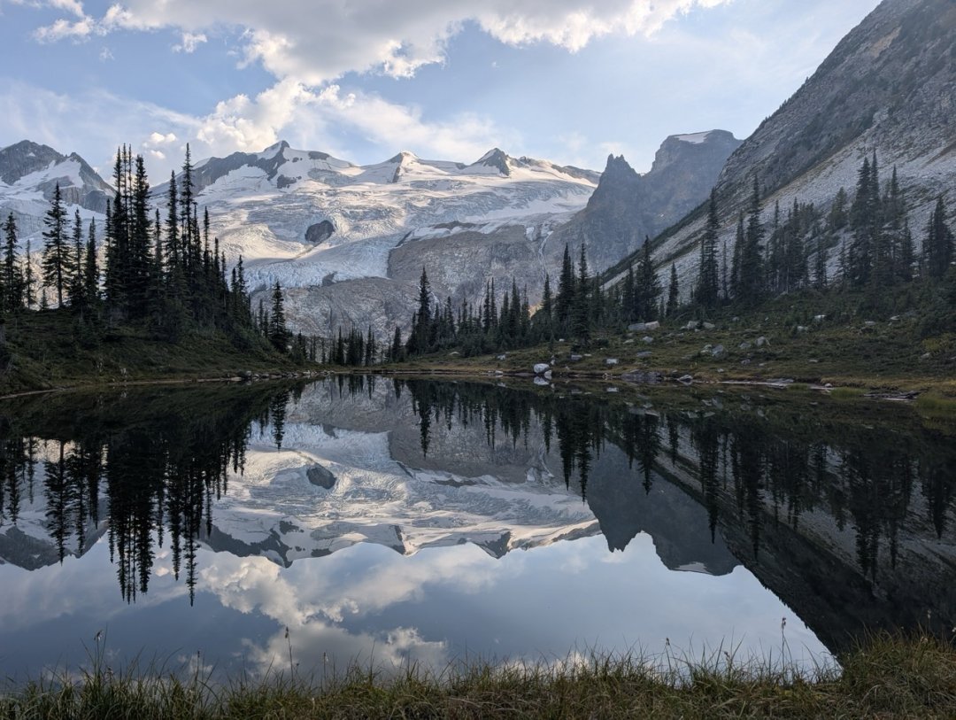
Hiking around the lodge offers some of our shortest and easiest routes in the Sorcerer Terrain. Choose to explore the open forested area around the lodge, through ancient whitepark pine trees and scenic viewpoints into Ventego valley, or head up to the swimming hole – a quick walk from the lodge, and the closest swimming venue! Generally, terrain is hummocky and gently sloped with small steep features that are easy to navigate around. Highlights include huckleberry picking in the early fall, “Thor”, an ancient whitebark pine tree that has been dated to be around 1500 years old, and the infinity pool vibes from the swimming hole as you gaze out towards the Nordic glacier.
 Nordic Lake, Ice Cave & Glacier Viewpoint
Distance (round trip): 5.5 km
Elevation gain: 350 m
Difficulty: 
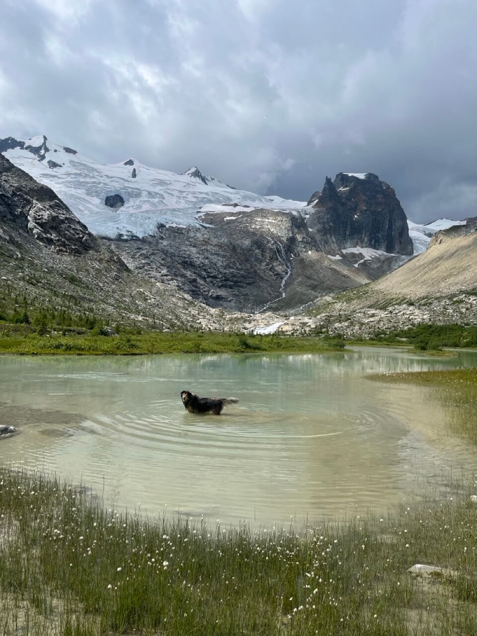
Follow one of our established trails from the lodge, down the moraine and into Nordic valley. Choose from the high route in rocky alpine terrain or continue on the trail to Nordic Creek and walk the creek bank to the lake. A quick dip in the lake offers a brisk refresh. Continue around the lake, creek hop your way across the weaving outflows from the Escargot glacier and follow the iron-stained rock as you climb up moderately steep, rocky terrain to the ice cave at the toe of Nordic glacier. Continue for an additional 200 m to a higher vantage point and a worthwhile view of the glacier. Don’t forget to bring an ice axe and a vessel to carry a piece of glacier ice back with you for your après beverage of choice.
 Perfect Valley Loop
Distance (round trip): ~7-9 km depending on route
Elevation gain: 600 m
Difficulty: 
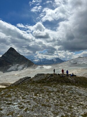
Perfect Valley offers several variations to suite your energy level, ability and aspirations. From the lodge continue down to Nordic Creek. There is a creek crossing at this point and we recommend bringing a pair of lodge crocs and a hiking pole to leave at the crossing for your way back. Once you turn the corner at Coach’s Corner, this trail is a beautiful walk across a natural bench feature. Choose between the low traverse into the valley and along the creek or take the highline above the valley and skirt the toe of Perfect glacier as you make your way to Perfect Pass. Better yet, make it a loop and experience both variations. Once at Perfect Pass, there are options to continue into the Alder Creek drainage, continue up Wheaties Ridge for another exciting loop opportunity or simply take in the serenity of the Perfect Pass, enjoy a tasty snack and maybe a nap in the alpine heather. Choose your descent route back via the highline, along the creek or down Heppellumps. There is no shortage of incredible views in this valley and wildflowers along the creek if you hit the perfect growing window (August – September).
Escargot Peak via Nordic Glacier (glacier travel)
**glacier travel
Distance (round trip): 11.5 km
Elevation gain: 975 m
Difficulty:
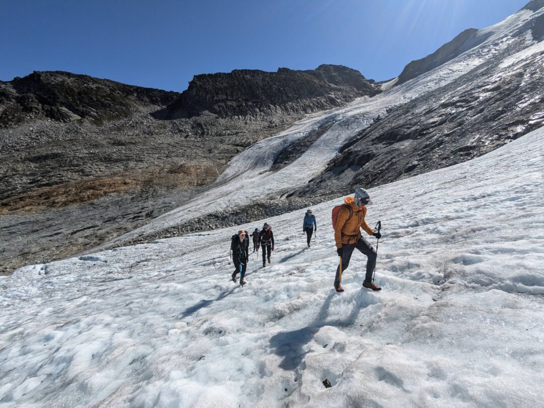
This one is an iconic destination, both winter and summer. From the ice cave, make your way onto the toe of the Nordic glacier and remain on ice for the majority of the hike. Just before reaching the summit, the route takes you through a giant wind scoop and finishes with a short rock scramble to the summit. There is no shortage of crevasses to navigate along the way, and hiring a guide is mandatory for this route.
 Bruno’s Notch Loop
*sections of rock scrambling
Distance (round trip): ~6.25 km
Elevation gain: 625 m
Difficulty:
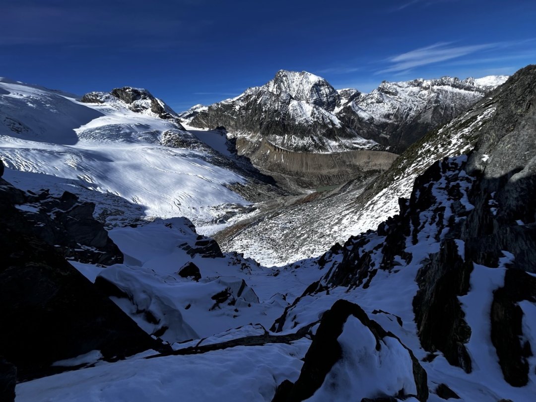
This loop is a great way to experience the highlights of both Nordic and Perfect valley. There is about 100 m of steep rocky scrambling as you approach and descend from Bruno’s Notch, but the remainder of the route is moderate terrain. Bruno’s Notch can be hiked from the Ice Cave in Nordic valley, or from the Perfect side by taking the more challenging rock scramble along Perfect Ridge or by continuing up the bench and hiking through the step-like bedrock features for a more conservative approach.
Ventego Lake
Distance (round trip): 4.0 km+
Elevation gain: 205 m
Difficulty:
This route contours the north side of Wizard Peak and is approximately 2 km to reach the east shore of the lake. The trail starts by heading to the swimming hole above the lodge and continues northwest across a small section of large boulders with cairns marking the best route through. From here a short, steep, decent and challenging rocky section brings you to a contouring traverse under Wizard Peak. This route is roughly maintained and marked with rock cairns; however, they are often hard to find as frequent rockfall occurs with heavy rainfall and removes our attempts to maintain a trail. It is best to stay on a contour and not venture too high or too low and be sure to look around for mountain goats! Just before the lake, a short ascent through larger boulders brings you to a beautiful hummocky meadow with incredible views of Iconoclast Mountain (the highest peak in the Northern Selkirks) and Ventego Lake (the largest alpine lake in the Northern Selkirks). From here, rough trail continues along the shore heading north to the waterfall where the lake drains into the creek, a must see! The shore along the lake is easy to walk and can be enjoyed as a relaxing meander through wildflowers with several sandy swimming spots, flat napping areas, or a stepping stone to adventuring further afield. If you are a rockhound or crystal enthusiast, we recommend exploring the Land of Oz and Crystal Mountain.
Tangerine Valley, Swiss Col and Isle of Skye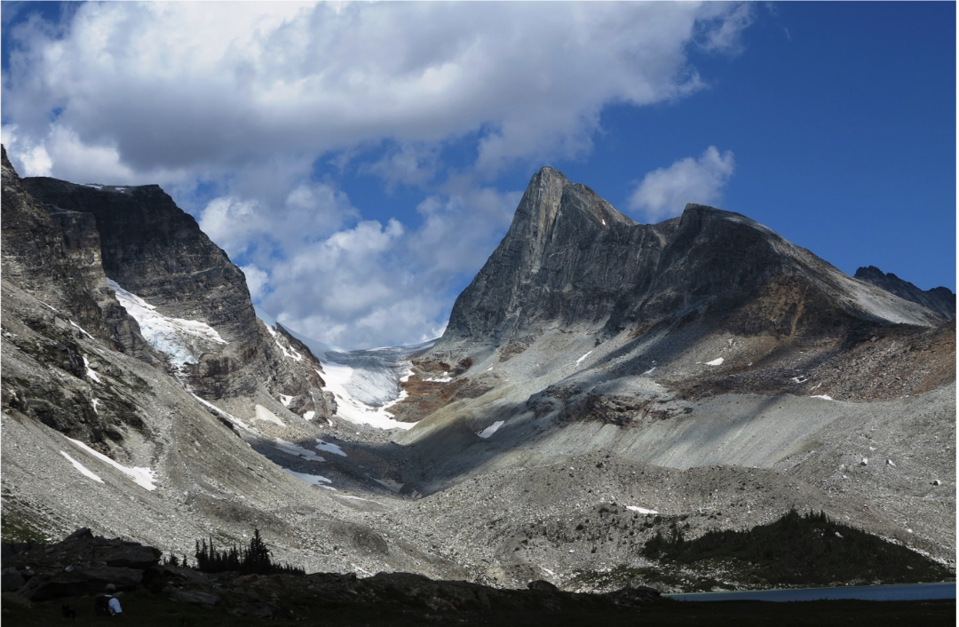
*sections of rock scrambling
Distance (round trip): ~7.0 km to Swiss col
Elevation gain: 450 m
Difficulty:
Continue along Ventego Lake to the north side of the lake where a creek enters the lake, and follow the route to Swiss col or Tangerine Valley. From Swiss col, options to adventure into the Cheap Scotch area, scramble up to Isle of Skye or simple enjoy the spectacular vantage point at the col. Tangerine Valley offers several small glacial tarns, mudflats rumoured to be a playground for mountain goats, and the vibrant burnt orange rocks that give this route its name. This iron-rich strip of bedrock can be seen in Nordic Valley as you hike up towards the ice cave. Options from Tangerine Valley include rock climbing at the Dark Tower area, venturing up to Iconoclast col, with a short section of glacier travel and a sneak peak into Benedict Creek valley.